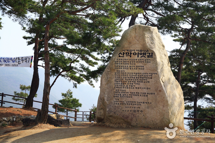
Sanmagi Old Trail
🌐 산막이옛길
📍 88 Sanmagiyet-gil, Chilseong-myeon, Goesan-gun, Chungcheongbuk-do

Introduction
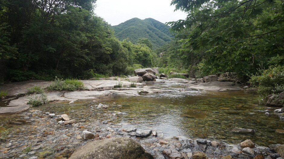
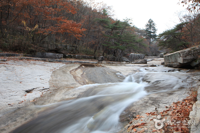
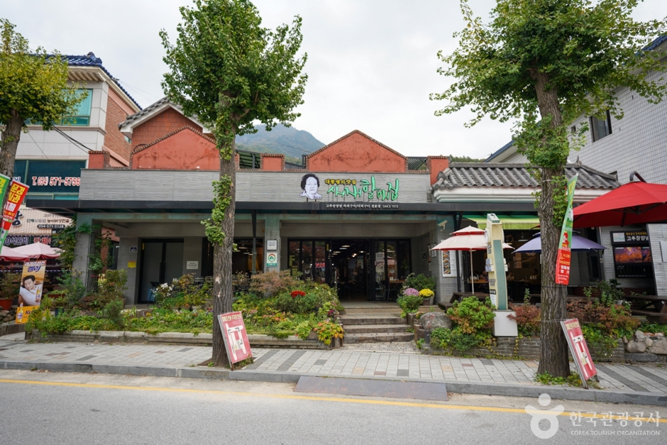
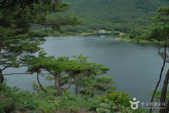
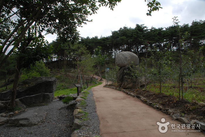
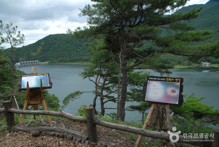
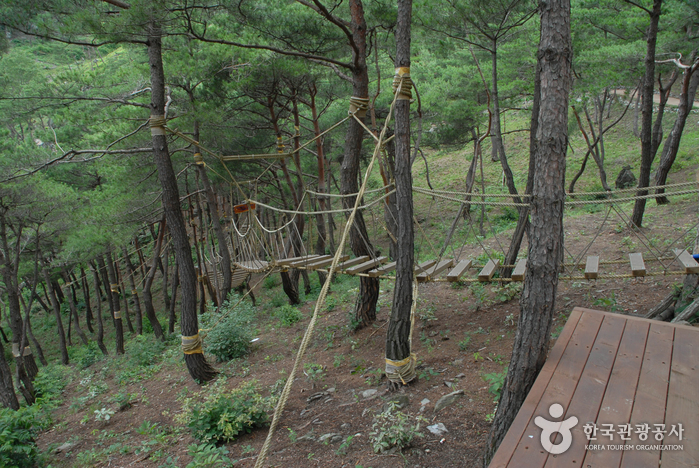
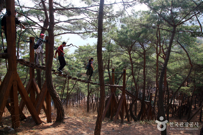
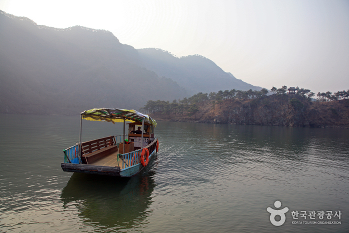
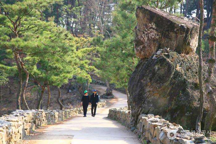
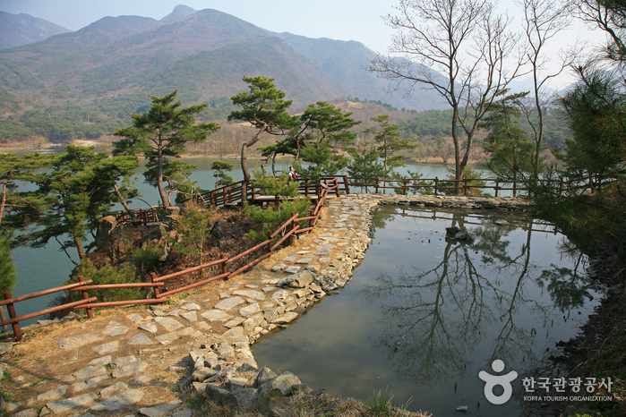
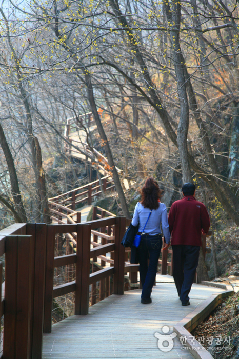
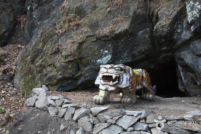
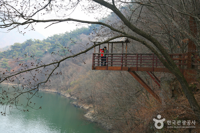
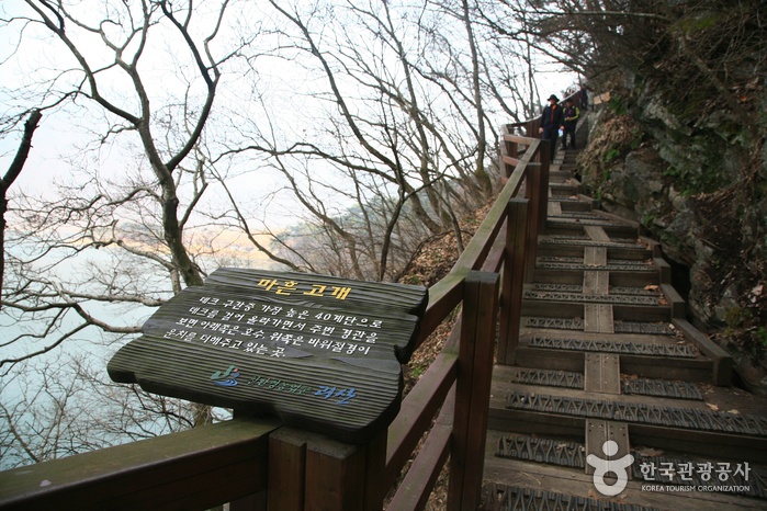
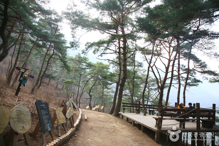
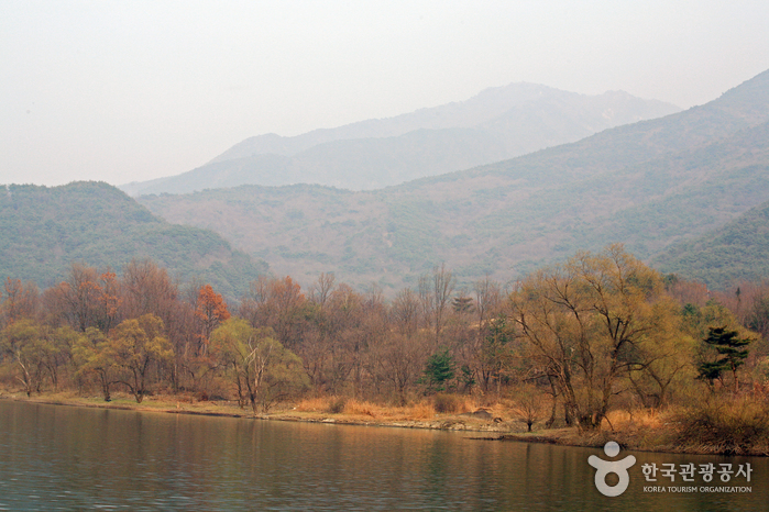
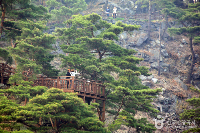
Sanmagi Old Trail in Oesa-ri, Chilseong-myeon, within Goesan-gun of Chungcheongbuk-do, stretches over a picturesque 3.93 km. It connects to the serene Sanmagi Village, nestled in the mountains. This trail has been thoughtfully restored, tracing contour of an ancient road, a faint remnant of times gone by. Offering stunning vistas of mountainous terrain, flowing waters, and lush forests, the trail represents one of the most enchanting aspects of Goesan’s landscape. Its true value lies in the unspoiled natural ecosystem preserved around the dam. The old mountain path, gently redeveloped with eco-friendly techniques alongside the Goesan Dam, harmoniously complements the tranquil waters of the dam’s lake, presenting a glimpse of Korea’s natural splendor. A walk along this trail, with the scent of the forest and the soft caress of a river breeze, invites a profound connection with nature in its purest form..
Telephone
Homepage
🗺 Location
88 Sanmagiyet-gil, Chilseong-myeon, Goesan-gun, Chungcheongbuk-do
✏ Details
Tourism Course
* Course 1: 4.4 km (approx. 3 hrs)
Norusaem Spring (900 m) → Deungjanbong Peak (1.1 km) → Hanbando (Korean Peninsula) Observatory (900 m) → Cheonjangbong Peak (2.2 km) → Sanmagi Village
* Course 2: 2.9 km (approx. 2 hrs)
Norusaem Spring (900 m) → Deungjanbong Peak (1.1 km)→ Hanbando (Korean Peninsula) Observatory (900 m) → Azalea Hills
🔎 Information
Inquiries
+82-43-832-3527
Age Limit
Open to visitors of all ages
Parking Facility
Available
Closed
N/A (Open all year round)