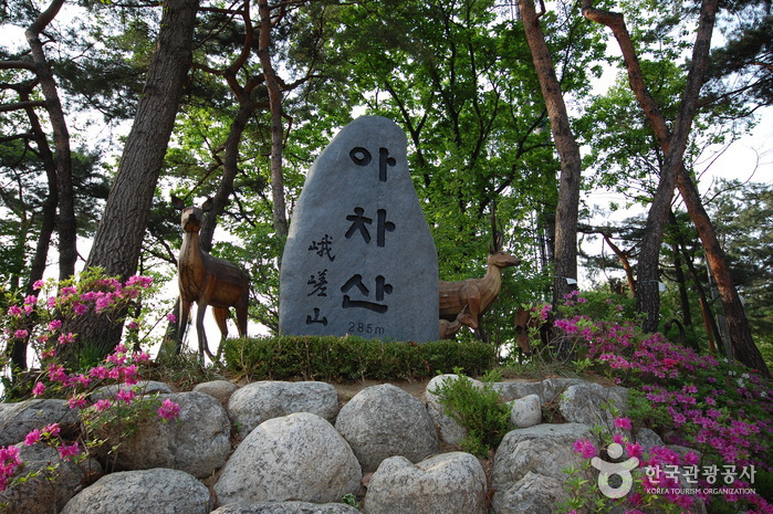
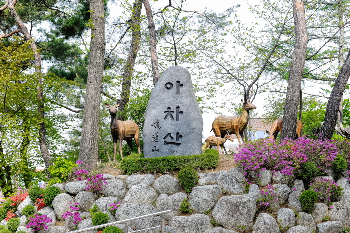
Achasan Mountain
🌐 아차산
📍 Acheon-dong, Guri-si, Gyeonggi-do
Introduction
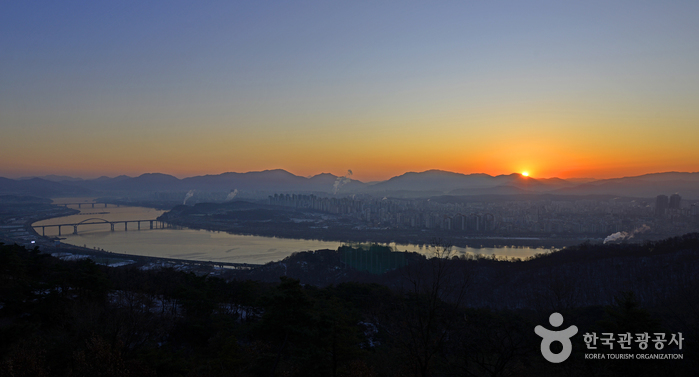
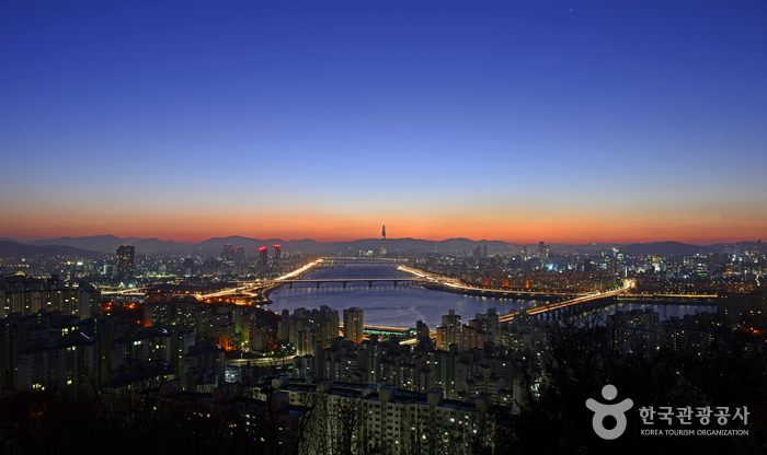
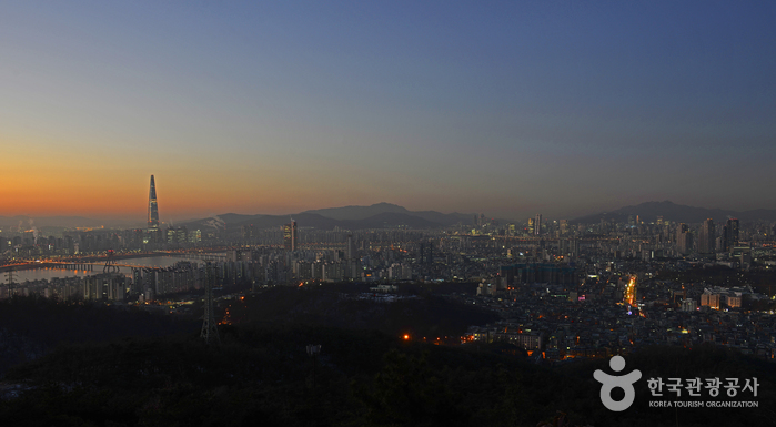
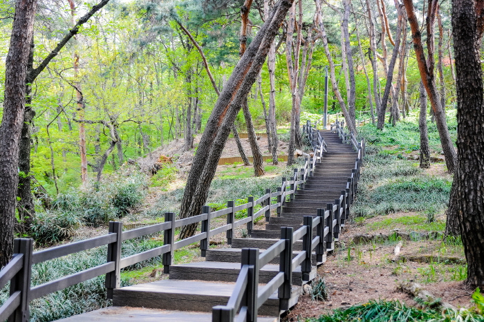
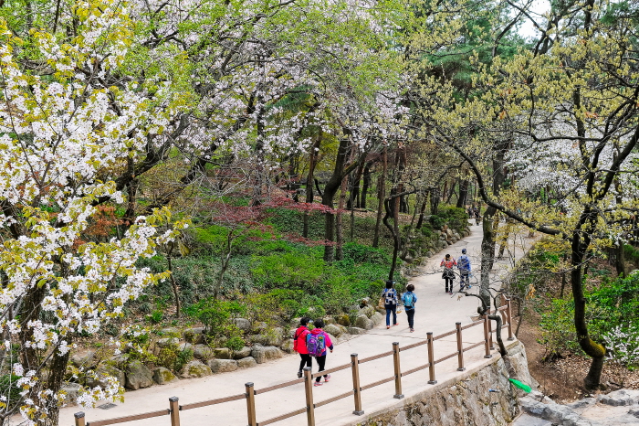
Achasan Mountain is a 295m-high mountain that stretches across Seoul and the city of Guri. Its proximity to the city makes it an accessible destination for hiking in Seoul. The hiking trails are maintained quite well, so even beginners can enjoy hiking in the mountain. From the summit of Achasan Mountain, one can enjoy the beautiful view of Seoul and the Hangang River. In fall, the mountain is famous for its fall colors as well.
Telephone
Homepage
🗺 Location
Acheon-dong, Guri-si, Gyeonggi-do
✏ Details
Hiking Course
[Course 1 (Duration: 1 hr 30 min)] Achasan Ecological Park → Pine Tree Forest → Achasanseong Fortress → Naktagogae Pass → Chinsugyegok Valley → Achasan Management Office → Meeting place
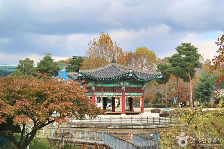
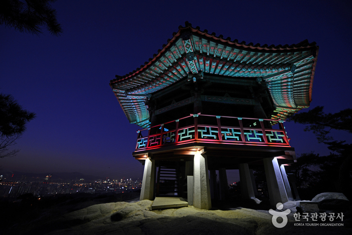
[Course 2 (Duration: 2 hr)] Meeting place → Naktagogae Pass → Goguryeojeong Pavilion → Haemaji Square → Summit → Daeseongam Hermitage → Naktagogae Pass → Chinsugyegok Valley → Meeting place
[Course 3 (Duration: 2 hr 30 min)] Meeting place → Achasan Management Office → Chinsugyegok Valley → Goguryeojeong Pavilion → Summit → Yongmasan Mountain → Ppeongtwigigol Valley
Admission Fees
Free
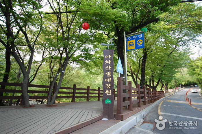
Available Facilities
Ecological park, meeting place, walking paths, forest, etc.
Parking Fees
300 won for 10 min
Restrooms
Available
🔎 Information
Inquiries
• 1330 Travel Hotline: +82-2-1330
(Korean, English, Japanese, Chinese)
• For more info: +82-2-450-1395
(Korean, English, Japanese, Chinese)
• For more info: +82-2-450-1395
Parking Facility
Not available
Opening Hours
Open 24 hr