Joryeongsan Mountain
조령산
📍 Munyeong-eup, Mungyeong-si, Gyeongsangbuk-do
Introduction
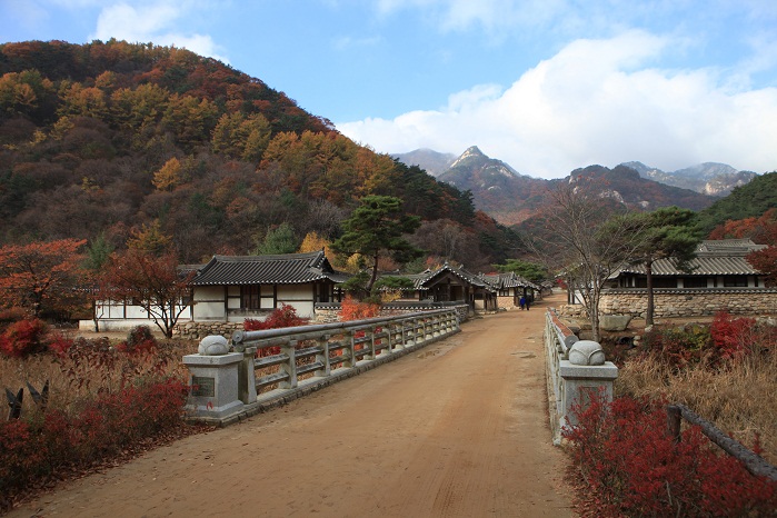
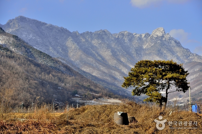
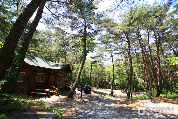
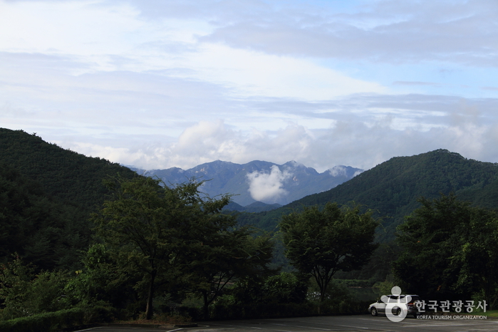
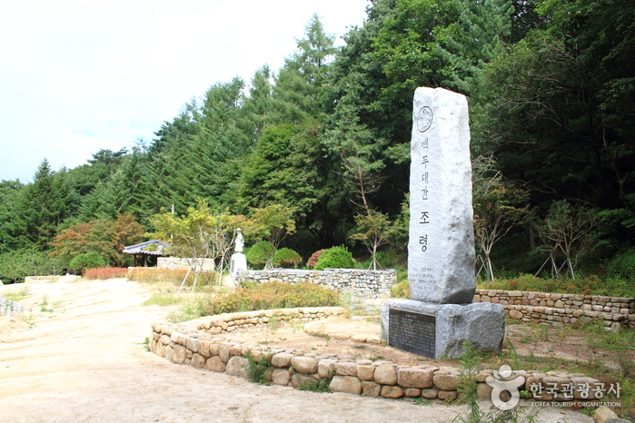
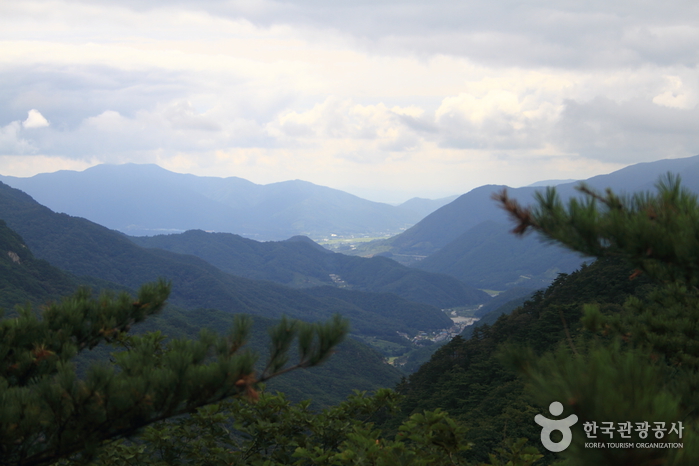
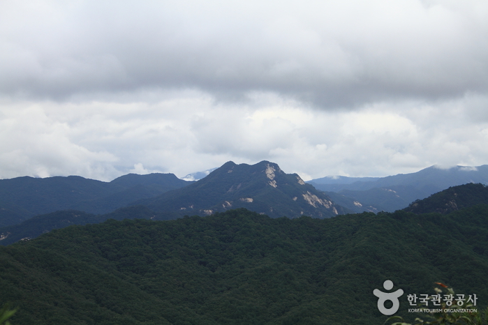
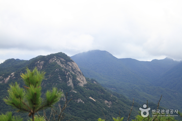
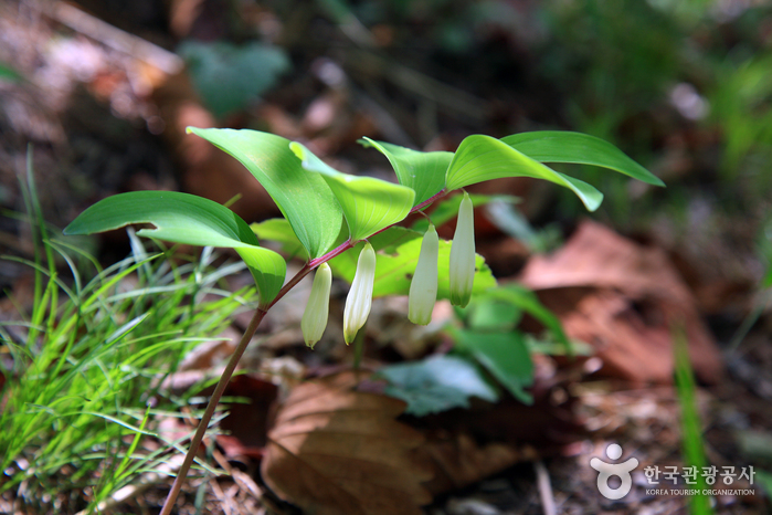
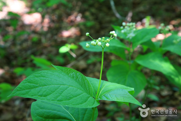
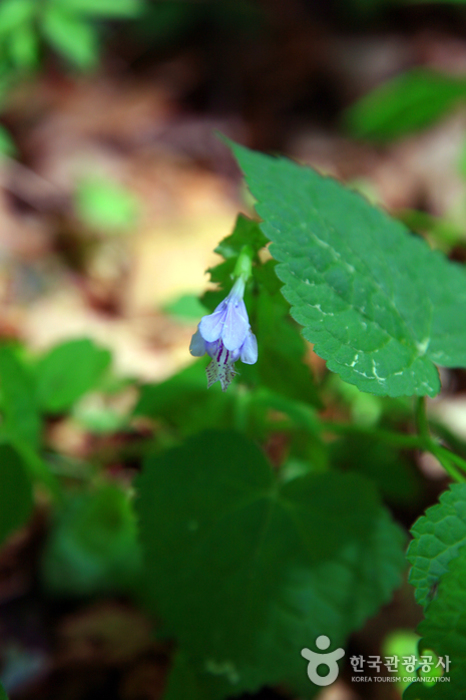
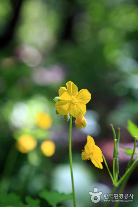
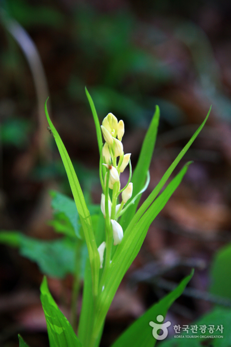
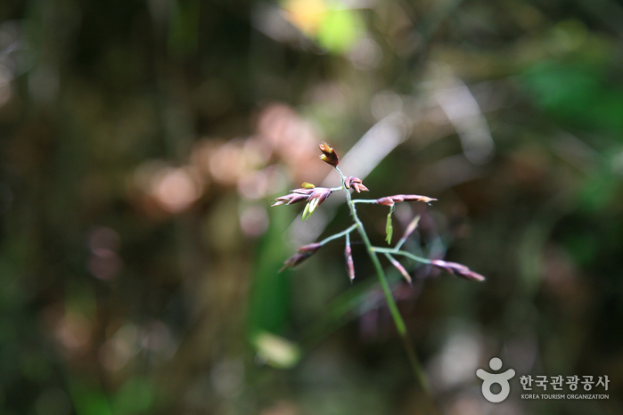
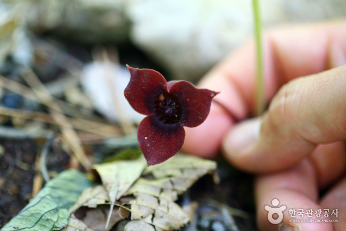
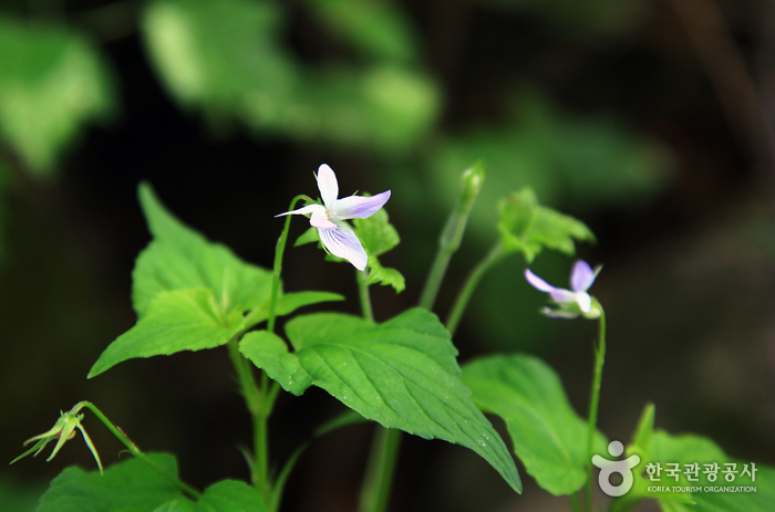
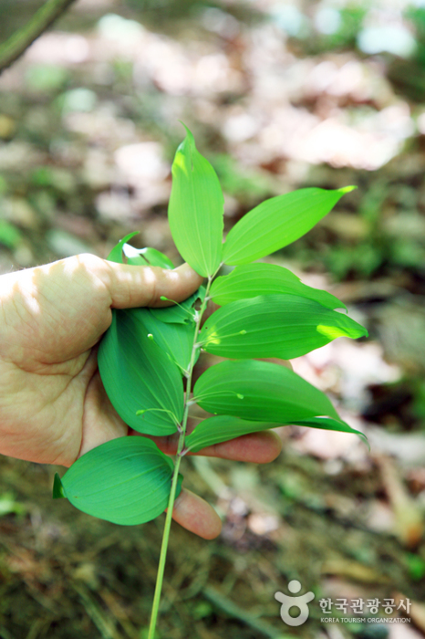
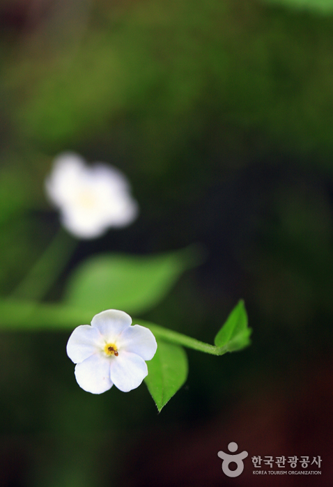
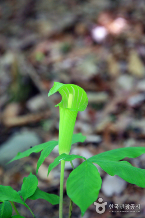
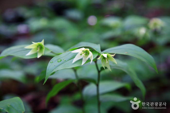
Joryeongsan Mountain divides Mungyeong (Gyeongsangbuk-do) and Goesan (Chungcheongbuk-do), and is situated at the far end of Baekdudaegan Mountain Range that connects Baekdusan and Jirisan Mountains. The mountain is picturesque with its surroundings of dense forest, steep rocky areas, strangely shaped peaks and old trees. It has a grand scale of mountain ridge and high altitude. However, as the hiking trail starts at 529 meters on Ihwaryeong, it is not that tough. Nearby locations include Sinseongbong Peak and Mapaebong Peak, as well as Joryeongsan Recreational Forest.
Telephone
Homepage
www.gbmg.go.kr (Korean, English, Japanese, Chinese)
🗺 Location
Munyeong-eup, Mungyeong-si, Gyeongsangbuk-do
✏ Details
Hiking Course
[Hiking Course]
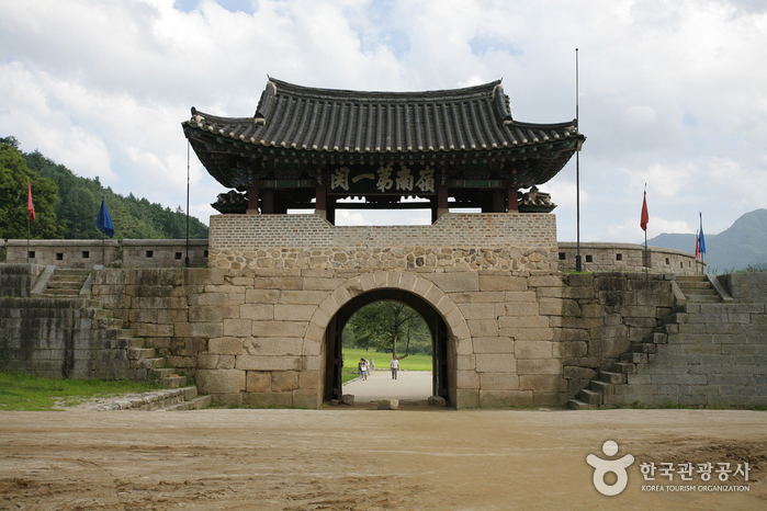
Ihwaryeong Course: Ihwaryeong (1 hr) - Joryeongsaem (50 min) - Peak (1 hr 10 min) - Yongsagol - Wonteo - Juheulgwan
Saejae Course: Saejae Parking Lot (2 hr) - Joryeongsaem (50 min) - Peak (20 min) - Crossroads after 946 Goji (1 hr 10 min) - Madangbawi Rock in front of Wonteo
🔎 Information
Inquiries
• 1330 Travel Hotline: +82-2-1330
(Korean, English, Japanese, Chinese)
• For more info: +82-54-550-6414
(Korean, English, Japanese, Chinese)
• For more info: +82-54-550-6414
Opening Hours
Open all year round